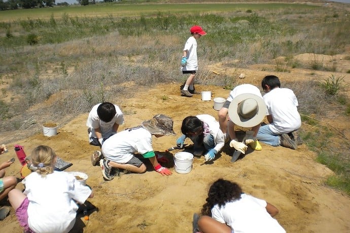
When you think of Archaeology, you typically imagine a scientist carefully digging in the dirt or sand to uncover an ancient and priceless artifact. Today, that very important (and fun) part of the job is getting a modern upgrade with the help of satellites and a technology called remote sensing.
Remote sensing is a way of collecting information and measurements about something from far away. The benefit of remote sensing is that it provides a bird’s-eye view (a.k.a. a topdown view) of an area in order to better understand it, similar to using a viewpoint on a hiking trip in order to figure out the best way to go through a valley.
Over and above
In the past, if archaeologists wanted to get a bird’s-eye view of a potential dig site, they would have to use hot air balloons, helicopters, powered parachutes, blimps, and even kites to snap pictures from above. But, with the ease of access that complex satellite imaging has brought us, archaeologists in hot air balloons have become a thing of the past.
Modern remote sensing mainly relies on the use of advanced satellite sensors that can detect electromagnetic radiation and various infrared and microwave frequencies. Through the use of these sensors, archaeologists are able to detect differences in vegetation, moisture, and rock composition that the human eye is unable to see, and then display these differences for us to study.
Remote sensing is being used all over the world—from detecting lost cities buried under the sands of Egypt, to rediscovering great temples covered by the jungle in Belize, to mapping an ancient Viking settlement on the east coast of Canada.
Historic patterns
What is wild to me, though, is that archaeologists are combining this remote sensing with a special algorithm called the Neyman-Scott Process, which was originally designed for mapping the relationships between stars.
A great example of this can be seen in Sudan, near the city of Kassala where there are thousands of small Qubbas (tombs) seemingly placed at random in the middle of the desert. But, through the use of the Neyman-Scotts Process, scientists have been able to start to explain why some of these tombs and the accompanying Tumuli (ceremonial platforms) are where they are.
The Neyman-Scott Process recognizes not only the patterns in the terrain, such as rock formations that influence the grouping of tombs but the patterns that the Qubbas and Tumuli create themselves.
Through the use of The Neyman-Scotts Process and traditional research, archaeologists have come to understand that the placement of these tombs is not random at all. They believe the tombs, belonging to the nomadic Beja people, are grouped to show the different families and tribes that have existed in this area of the world throughout history. And they uncovered all of this without ever getting any sand in their shoes.
The use of satellites will never replace the need for archaeologists to go to a site in order to understand it better, but it sure does help reduce the amount of guesswork (and hot air balloons) needed to get the job done.
If you want to learn more about how satellites and remote sensing are being used, you can go to the globalxplorer.org digital platform and follow the cool work of a group of archaeologists in Peru.
Learn More
Remote Sensing Definition
https://academickids.com/encyclopedia/index.php/Remote_sensing
Space Archeologist Sarah Parcak
The Neyman-Scotts Process and the Qubbas
Deep Dive on the use of Satellites in Archeology
https://www.youtube.com/watch?v=U19LhQOP5To&ab_channel=SciShow
The Global Xlorer Digital Platform
National Geographic Article on Remote Sensing
https://www.nationalgeographic.com/magazine/article/satellite-archaeology
Paleontology and Remote Sensing
https://www.gislounge.com/finding-fossils-remote-sensing/
The Beja People
https://www.atlasofhumanity.org/beja
Space Archaeology: Uncovering the Past
https://earthobservatory.nasa.gov/blogs/eokids/space-archaeology-uncovering-the-past/
Lasers are driving a revolution in archaeology
https://www.nationalgeographic.com/culture/article/lasers-lidar-driving-revolution-archaeology

