
Remember in the last issue (beanz, December 2022) how we talked about satellites being used in low orbit to help archaeologists find ancient hidden structures? It was called remote sensing and it is really REALLY cool. Most of us do not have the training (or the satellites) to do this ourselves. But, we do have something that’s a lot easier to get our hands on—drones.
While some people have been racing drones or using them to take epic photos, groups of both rookie and experienced archaeologists have been employing them to help unearth hidden secrets, and even save some of our greatest archaeological sites.
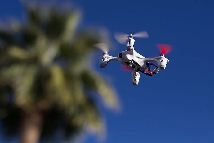
How are Drones Used?
In archaeology, drones are typically used to help map archaeological sites, or even explore potential new ones.
For example, say you wanted to map a new site and try to spot clues about what might be hidden there. Without a drone, you and your team would do something called ‘pedestrian surveying’ where you all walk in a straight line next to one another looking for possible artifacts. If you have ever tried walking in a perfectly straight line while also looking for something you probably already know that your straight line becomes less straight pretty fast. Plus, it takes a long time to do this, and you will most likely miss clues as you go.
With a drone, you can survey the same area in a fraction of the time while being equipped with a collection of cameras, sensors, and even laser scanners to gather information to limit any missed clues.
Drones in Action
The value that drones bring to archaeology has actually resulted in some pretty amazing finds already.
A personal favorite is from back in 2018 when a drone hobbyist in Newgrange, Ireland, going for a casual Tuesday flight, found the remains of a 4,500-year-old henge (a circle of large stones) in a farmer’s field.
Some drones are even being used to help maintain and restore sections of the Great Wall of China, Including the Jiankou section, just north of Beijing. Both human and natural factors have eroded and weakened sections of the wall, but due to the steepness of the Jiankou section, it’s really hard to assess how bad this damage is. So the archaeologists and restoration teams decided to mount special cameras to create accurate 3D models on their drones and fly them over the wall. With the information they are able to gather, they can understand where the Jiankou section is weakest and work to restore and preserve it from getting worse or even sliding down the hillside.
Before you go out and become a futuristic archaeologist though, I think it is really important to remember that drones can be dangerous, not only to people but also to the places they are being used. It would be pretty bad if you crashed your drone into the same site you wanted to explore, right?
With that in mind, I wish you good hunting, and, who knows, maybe you’ll be the next person to find an ancient forgotten wonder.
Learn More
Drone Hobbyist Finds Ancient Henge
Drones and the Great Wall of China
https://www.bbc.com/news/av/world-asia-china-46015900
Drones for archaeological surveys
https://www.thedronegirl.com/2022/01/13/archaeological-surveys/
Drones reveal hidden archaeology
https://www.science.org/content/article/aerial-drones-reveal-hidden-archaeology
The use of drones in archaeology
https://www.youtube.com/watch?v=EjSUg32SJRw
Discovering New Dig Sites with Drones
https://www.dronedeploy.com/blog/discovering-new-dig-sites-with-drone-technology
Incredible drone discoveries
https://uavsystemsinternational.com/blogs/drone-guides/incredible-drone-discoveries
Aerial drones reveal hidden archaeology
https://www.science.org/content/article/aerial-drones-reveal-hidden-archaeology
Ground penetrating radar surveys
https://www.ugcs.com/page/ugcs-for-ground-penetrating-radar-surveys
Pre-Columbian Earthworks discovered by drone
Drones find ancient drawing in Peru
The Lost City in Kansas
https://www.onlyinyourstate.com/kansas/destination-that-baffles-archaeologists-ks/