
Have you ever built a sand castle too close to the shore, only to watch a big wave wash it away? Well, that is pretty much what building in the Netherlands feels like.
The Netherlands means “low lands” in Dutch because most of it is at or below sea level. In addition, the land is so flat it could flood at any point. The Netherlands also has many big rivers flowing through it and gets a lot of rain, more than 1.5 hours a day on average.
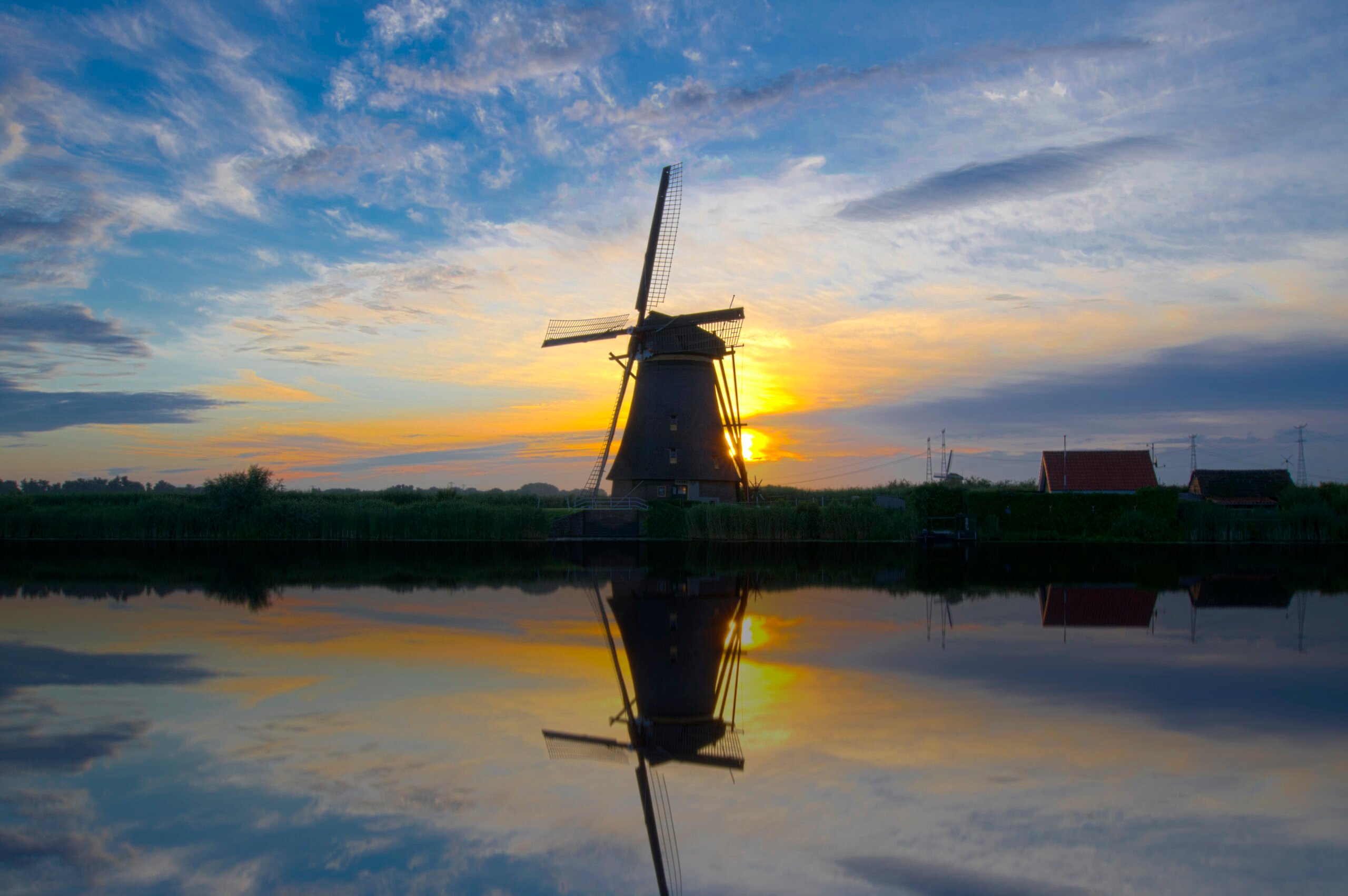
Centuries ago, the country actually looked very different from how it does today: it was much smaller and very swampy. But the Dutch found a clever way to dry up the land. They dug up canals to drain the water away using amazing wind-powered pumps: windmills.
Today, Dutch scientists have much more high-tech ways to deal with all that water. Let’s see how it works.
Drones: The Flying Inspectors
Imagine having to monitor miles of dikes to spot any issues – that’s quite a tough job and one that is perfect for drones. Drones are like flying inspectors that give us a bird’s-eye view of the dikes. They capture images and videos, helping engineers check water levels. It’s like having a security camera in the sky.
Lasers and 3D Maps
From the sky, drones can also use technologies like specialized lasers and cameras to build super-accurate models of the ground. This helps experts better understand where problems might arise.
Supercomputers Crunching the Data
All the information from sensors, drones, and human inspections needs to be processed. That’s what supercomputers are for. They are the brainiacs that crunch all the data, make sense of it, and tell us if there’s a problem brewing. Their calculations can also trigger automatic effects: if they detect a big change in sea levels, they shut down giant gates in the sea that keep the country safe during storms.
Flood Models Predicting the Future
Ever wish you could see into the future? Well, Dutch scientists can, sort of. Thanks to
supercomputers, they can create models that simulate what might happen during different weather conditions. Running these simulations helps them predict whether the dikes will hold up. It’s like a high-tech crystal ball.
Dike Sensors: The Guardians of Safety
Dikes are like giant walls that keep the seas and rivers from spilling onto the land, just like the barriers you build around your sand castles. But how do we know if they’re holding up? That’s where sensors come in. Sensors are placed all along the dikes where they constantly check for signs of weakness or water seeping through. If they detect trouble, they send a signal to experts who can fix the problem before it gets serious.
So there you have it. The Dutch have turned a potential problem into an amazing example of how technology can protect our homes and the environment. It’s like a real-life superhero movie, where the heroes are the machines and the scientists. These technologies will become even more important in the coming years, as sea levels everywhere are expected to rise due to climate change. We can learn a lot from these existing technologies.
Learn More
Dutch Rainy Weather
https://www.dutchready.com/blog/rain-in-the-netherlands/
Windmills in the Netherlands
https://offwiththekids.com/europe/netherlands/kinderdijk-dutch-windmills/
Dikes in the Netherlands
https://kids.britannica.com/kids/article/levee-and-dike/399524
Drones and 3-D Maps
https://dronepoint.nl/water/?lang=en
Dikes
https://education.nationalgeographic.org/resource/dike/
The Netherlands: Dikes and a Rising Sea
https://classroom.ricksteves.com/videos/the-netherlands-dikes-and-a-rising-sea